
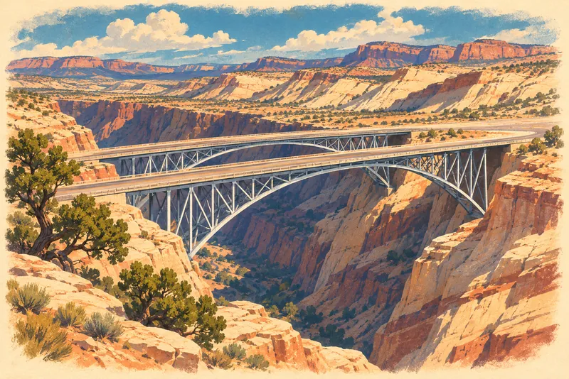
The Utah Division of State History's article on Interstate 70 says the highway crosses Eagle Canyon on an award-winning bridge, and Wikipedia's I-70 in Utah entry describes the crossing as a pair of steel arch bridges and lists an Eagle Canyon view area near Exit 116. We were unable to confirm from an official highway page which directions of travel have the view-area pull-off, its parking, or its facilities; the Utah Department of Transportation is the agency to ask.
Nearest Airports
Straight-line distance from Eagle Canyon view area, not drive time.
- Canyonlands Regional (CNY) — 63 miles
- Provo Municipal (PVU) — 104 miles
- Bryce Canyon (BCE) — 104 miles
Live Conditions
Wildlife Spotted Nearby
Sources — 2 claims, 2 checked against the source
| Claim | Source | Status |
|---|---|---|
| Farther west the highway crosses Eagle Canyon on an award-winning bridge (checked 2026-10-14) | Utah Division of State History - Interstate 70 | Checked |
| I-70 crosses Eagle Canyon via a pair of steel arch bridges; the exit list carries an Eagle Canyon view area note at Exit 116 (Moore). Used for the name and setting only (checked 2026-10-14) | Wikipedia - Interstate 70 in Utah | Checked |