Highway Heads,
your Road Trip Guide
Wherever your family is headed, we will tell you what is along the way — 204 cities, all 50 states, D.C. and 85 stops worth pulling over for, every fact tied to a named source and stamped with the date we checked it.
An atlas you can actually trust.
The road is yours, and your family’s — we are only here to help. The Hub tells you what is along the way, what you might see, and what is worth knowing before you go. It is non-fiction: every claim names where it came from and when we last checked it, and nothing on it is paid for, sponsored or ranked.
Sourced, and dated
Every fact carries a named source and the date we checked it. Where a source is unclear or contradicts another, we say so on the page instead of picking the tidier answer.
Live conditions
Sunset, air quality and recent wildlife sightings for the place you are reading about — fetched through our own servers, so no third party learns which page you opened.
No ads. No sponsors. No stars.
Our content is not paid for. No city, park, museum or restaurant can buy its way into our guides, nobody sponsors a page, and we don’t rank or rate any of these places.
Somewhere to point the car.
Six of the 204 guides, to get you going. They are ideas, not a ranking — all 204 are open, and the facts under each one are sourced on its guide.

Nashville
A city that built a full-size Parthenon to prove a nickname, then found a saber-toothed cat under downtown.
Read the guide →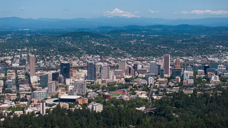
Portland
A city that tucked a 5,000-acre forest inside its limits, sorts its bookstore by color, and still argues about doughnuts.
Read the guide →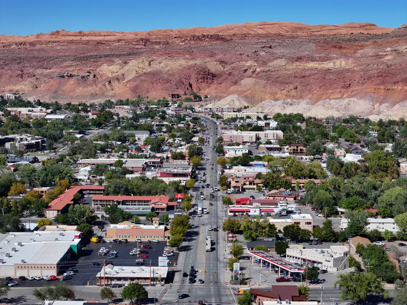
Moab
A town of 5,366 people that has been in the film business since 1949, was briefly the Uranium Capital of the World, and now sits four miles from the entrance to Arches.
Read the guide →
Madison
The only state capital squeezed onto an isthmus between two lakes, with a granite dome larger than any other on Earth.
Read the guide →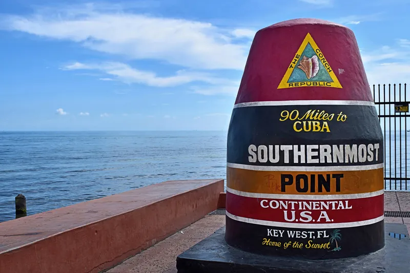
Key West
By the 1830s the wealthiest city per capita in the United States, reached today by a 106.5-mile highway built over the rail line a 1935 hurricane destroyed.
Read the guide →
Duluth
The farthest inland ocean port in the world, under a 135-foot lift bridge that goes up five thousand times a year, in a city that climbs 820 feet from waterline to hilltop.
Read the guide →All 204 city guides are free and open — start from the map.
Roads worth the detour.
All-American Roads — the top designation the U.S. Secretary of Transportation gives a scenic route. Lengths and driving times below are the Federal Highway Administration's own.
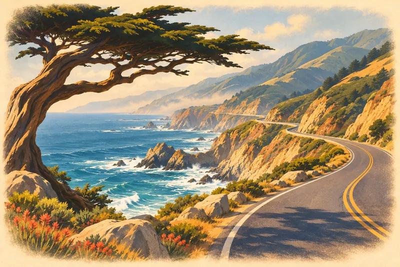
Big Sur Coast Highway
The stretch of Route 1 that hugs the cliffs between the cypress and the surf. FHWA suggests an hour and a half to drive it, or five to actually see it.
California guide →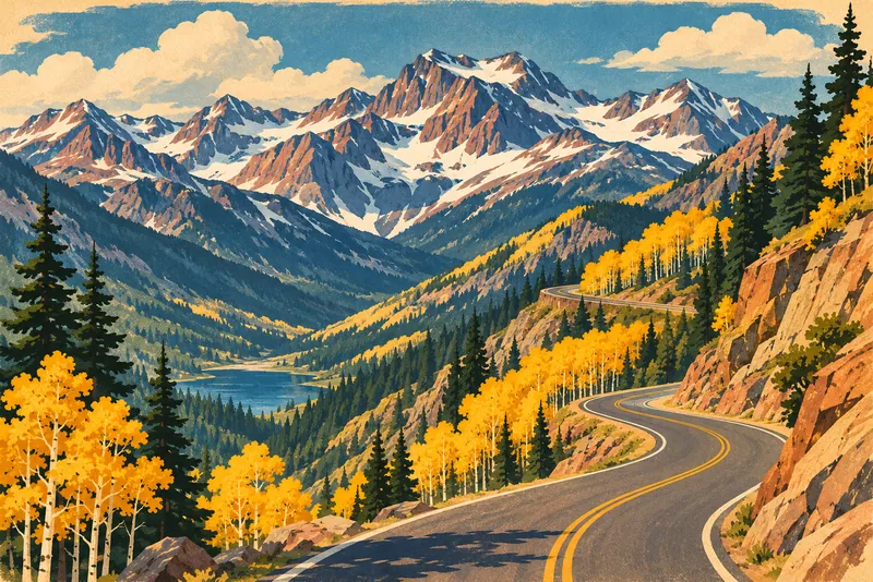
San Juan Skyway
A loop through the 14,000-foot San Juans, past hillsides holding ancient Puebloan ruins. Five hours of driving, or a day or two of stopping.
Colorado guide →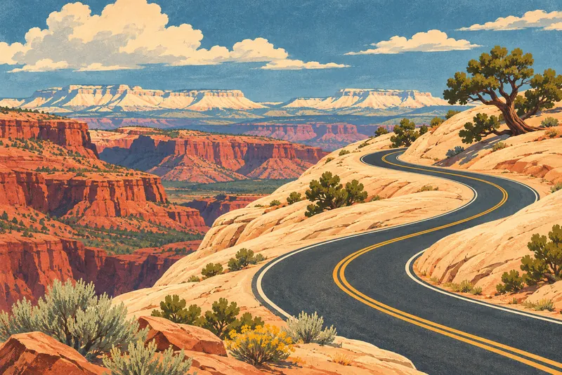
Scenic Byway 12
Red rock, slickrock and switchbacks between Bryce Canyon and Capitol Reef. Three hours end to end, or three days if you keep getting out of the car.
Utah guide →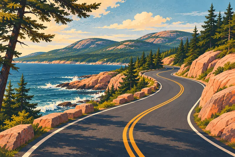
Acadia All-American Road
Craggy shoreline, granite-topped mountains and spruce-fir forest around Mount Desert Island. FHWA puts it at about three hours.
Maine guide →
North Shore Scenic Drive
The Lake Superior shoreline from Duluth north — the largest freshwater lake in the world by surface area, on your right the whole way.
Minnesota guide →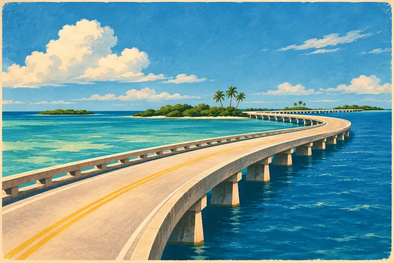
Florida Keys Scenic Highway
Island to island to Key West, on a road built over the railway a 1935 hurricane took out. About four hours, water on both sides.
Florida guide →Byway designations, lengths and suggested times: America's Byways data from the Federal Highway Administration, U.S. Department of Transportation (public domain). Fees and seasonal closures change without notice and belong to the agency that runs the road — check before you go.
When to point the car where.
Average daytime highs from thirty years of NOAA records. They describe the weather, not a recommendation — but they are a decent way to pick a month.


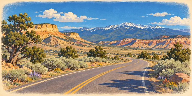

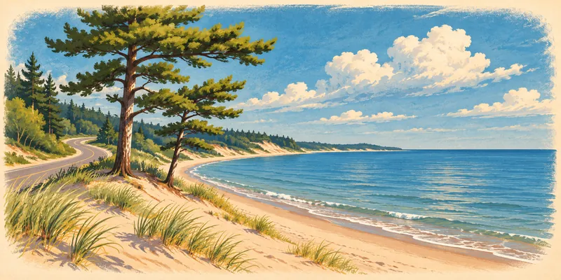

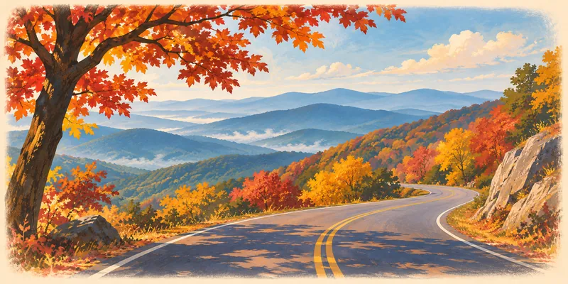
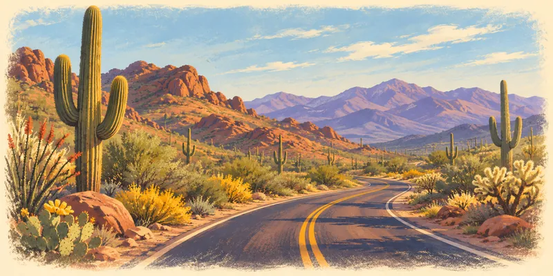
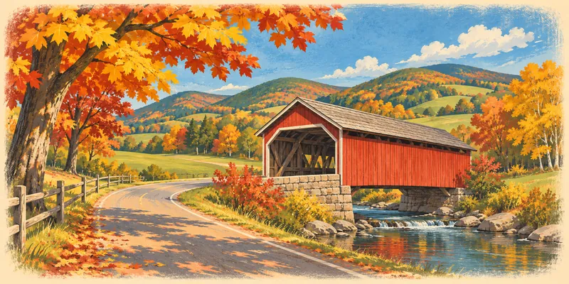
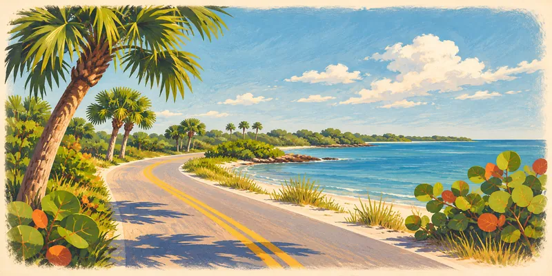
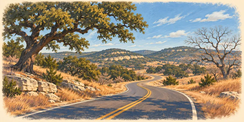
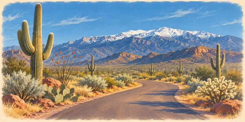
Statewide averages for 1991–2020 from NOAA NCEI Climate at a Glance. A statewide average hides a lot — a mountain pass and a river valley in the same state are not the same drive.
Buckle up your brain.
Loading today's question…
Your road trip just got a game.
Highway Heads turns miles and free moments into trivia adventures. Explore cities and landmarks, answer surprising questions, earn bonuses, and level up as you go.

Settle in for Road Trip Mode with friends and family, or jump into Trivia Only when you want a quick challenge.
Coming soon to Android and iPhone.
Sign up for launch updates →Road Trippin' with the Harts
A coast-to-coast trivia & activity book the whole family plays together. Out now.
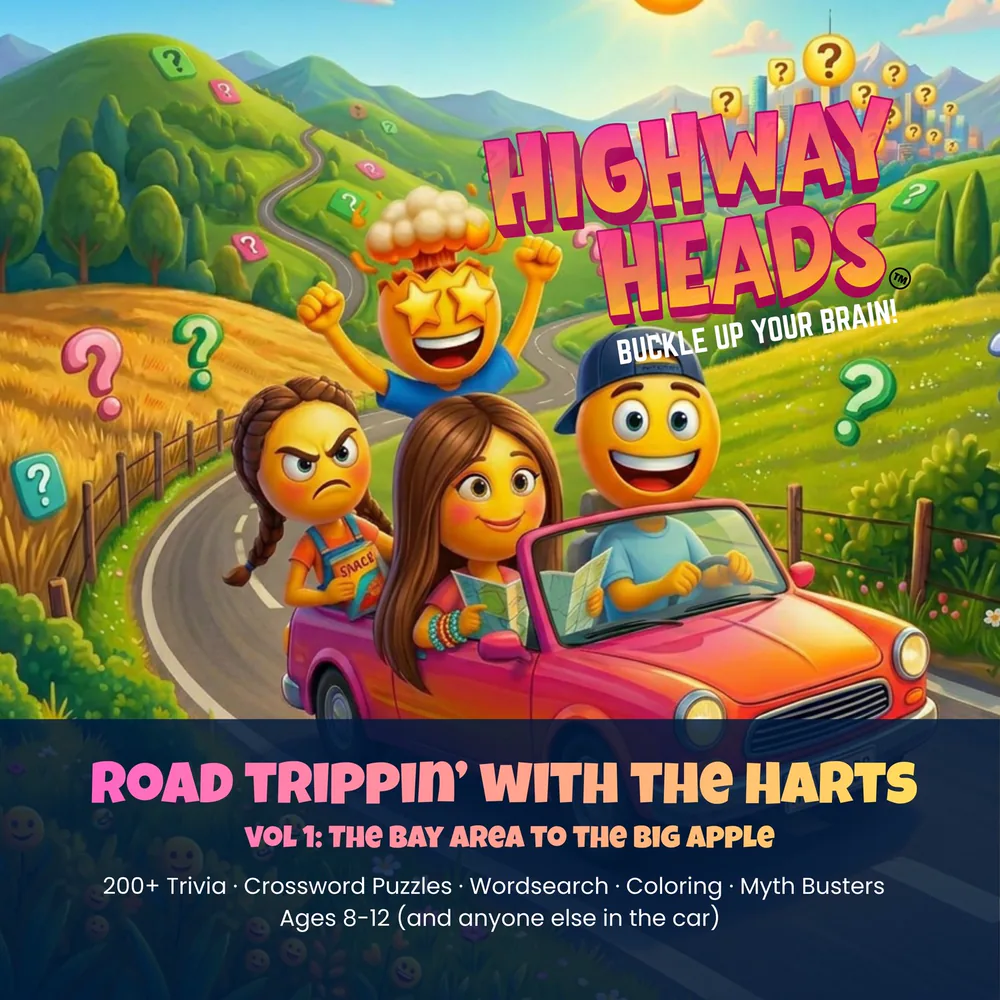
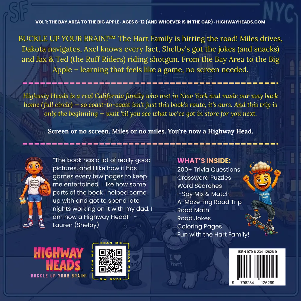
🔍 Tap a cover for a closer look
Questions, stories and surprises for every leg.
More than 200 trivia questions, plus puzzles, coloring pages and car games, following the Harts coast to coast. Designed to be passed around the back seat.
Volume 1 is available now, and Volume 2 is in production.
Get the Book →Road trip essentials, coming soon.
We are putting together the gear that actually earns its space in the car. It is not open yet — when it is, it will be here and on the list.

The road, seasonal and shop pictures on this page are illustrations drawn for Highway Heads — not photographs of those places.