
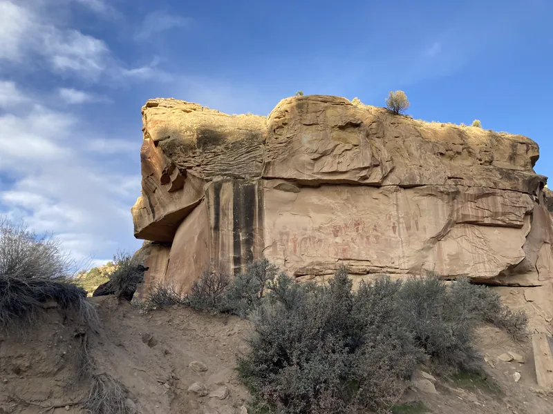
The Bureau of Land Management says Sego Canyon contains three culturally distinct styles of rock art: Fremont, Ute and Barrier-style, with major panels visible from the road. The BLM's directions are to take Exit 187 off I-70, proceed on State Highway 94 through Thompson, and continue driving approximately three miles to Sego Canyon; a well-preserved ghost town and ruins of a coal mine are nearby, and the BLM advises planning at least a half day. The BLM page does not state fees, hours, parking or restrooms, so those could not be confirmed; the BLM Moab office lists 435-259-2100 for questions before going.
Nearest Airports
Straight-line distance from Sego Canyon Rock Art Interpretive Site, not drive time.
- Canyonlands Regional (CNY) — 18 miles
- Grand Junction Regional (GJT) — 64 miles
- Vernal Regional (VEL) — 99 miles
Live Conditions
Wildlife Spotted Nearby
We checked contact details on 2026-10-14. These change without notice — confirm with blm.gov the week you travel.
Sources — 3 claims, 3 checked against the source
| Claim | Source | Status |
|---|---|---|
| Three culturally distinct styles of rock art: Fremont, Ute and Barrier-style; a well-preserved ghost town and ruins of a coal mine are nearby; plan for at least a half day; major rock art panels are visible from the road (checked 2026-10-14) | Bureau of Land Management - Sego Canyon Rock Art Interpretive Site | Checked |
| Take Exit 187 off I-70, proceed on State Highway 94 through Thompson, continue approximately three miles to Sego Canyon (checked 2026-10-14) | Bureau of Land Management - Sego Canyon Rock Art Interpretive Site (directions) | Checked |
| Contact listed: 435-259-2100, blm_ut_mb_mail@blm.gov (checked 2026-10-14) | Bureau of Land Management - Sego Canyon Rock Art Interpretive Site (contact) | Checked monitored · 2026-10-14 |