
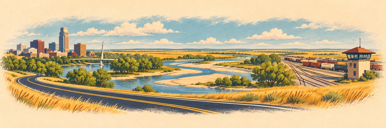
Four hundred and fifty designated miles of the Lincoln Highway, running west across Nebraska along the Platte.
- The route
- Lincoln Highway Scenic & History Byway, an All-American Road
- How long
- 450 miles end to end. The byway’s own record gives no suggested time, so we do not offer one — how many days this takes is yours to decide.
- How far apart
- Our stops on it sit within 251 miles of one another.
- Fees
- None to drive the byway itself; individual sites set their own.
Our guides along it
3 guides across 1 state. Where you start, where you stop and how long you stay are yours to pick.
OmahaNebraska
The eastern end, on the Missouri River.
KearneyNebraska
Midway across the state, on the Platte.
North PlatteNebraska
The western stretch, where the North and South Platte meet.
In this corridor, and not in a guide yet
Listed so this page is not mistaken for a complete one.
- Grand Island — Between Omaha and Kearney. The Kearney guide lists it as a day trip; it has no guide of its own yet.
- Gothenburg — Keeps a Pony Express station on the same corridor, and is in no guide at all.
- Sidney and Kimball — The last hundred miles to the Wyoming line are in no guide, so this package stops at North Platte.
Where these facts come from
- The byway’s length, designation and fees, and that its record carries no suggested time — fhwaapps.fhwa.dot.gov, checked 2026-11-02